Nature Drive GuideThe Nature Drive is a favorite for walking, cycling or driving. The Drive is open year-round during daylight hours.
The Nature Drive in the Lower Suwannee National Wildlife Refuge is a 9-mile well-maintained limerock road that passes through pine uplands, maritime hammocks, marshes and swamps. It accesses boat launches, fishing, hunting, hiking, birding, photography, and bicycling within the Refuge. The Lower Suwannee National Wildlife Refuge, unlike other Refuges, was not established for the protection of one or a few species but to protect the high water quality of the Suwannee estuary. The Suwannee River is a tannic, clear, black-water river. Before the Refuge was established in the 1970s, logging caused soil erosion, clouding the water and killing river grasses that provide food for an abundance of wildlife. The Refuge was created to halt and reverse this trend. Although slash pines are native to the area, loggers planted them in dense mono-cultures that caused unnatural stresses on wildlife, soil and water. Since 2003, the Refuge has thinned slash pines to allow understory plants to anchor the soil and provide food and shelter for a variety of wildlife. Gopher tortoises are found in the driest parts of the Refuge where longleaf pine and wire grass are being restored. A keystone species, the tortoises’ oval-shaped burrows are co-opted by over 360 other small species. Gopher tortoises have adapted to living in dry habitats with frequent fires by digging burrows deep into the sandy soil. The absence of natural fire cycles in pine forests spells hardship for tortoises. The dense vegetation (shrubs, brambles, small trees) that grows in a forest in the absence of fire shades out the diverse tender herbs and wildflowers tortoises like to eat. The Refuge holds periodic controlled fires to promote open pine forests or savannas, benefiting many rare wildlife species. Charred pine bark, seen throughout the Refuge, is evidence of a healthy native ecosystem. Pines are highly resistant to low-intensity prescribed fires. The Refuge provides habitat and feeding grounds for large critters like deer, alligators and wild hogs. Coyotes, bears, bobcats, otters, foxes, and Gulf coast minks are supported by the lands flanking the Suwannee River and the Gulf, but are rarely seen by visitors. Look for wading birds such as herons, egrets, and rails in the marshes. |
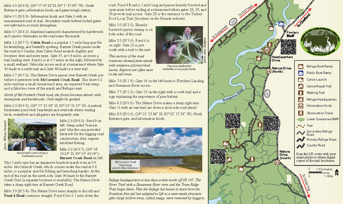
Mileages start at the Nature Drive south entrance, 8.5 miles north of SR 24. North entrance mileages are in parentheses. GPS coordinates for key points of interest are included.
Mile 0.0 (N 8.9), (29° 17’47.82”N, 83° 1’ 57.66” W)- South Entrance gate, information kiosk, and game weigh station.
Mile 0.1 (N 8.8)- Information kiosk and Gate 2 with an unmaintained road or trail. Secondary roads behind locked gates are referred to as trails throughout.
Mile 0.7 (N 8.2)- Maritime hammock characterized by hardwoods and cypress dominates as the road nears the marsh.
Mile 1.2 (N 7.7)- Cabin Road is a popular 1.1 mile long spur for birdwatching, and butterfly spotting. Barnett Creek passes under the road at 0.3 miles, then Cabin Road ascends slightly and becomes drier and more open. Gate 37, at 0.5 miles, accesses a trail leading west. Pond 2 is at 0.7 miles on the right, followed by a small wetland. Vehicular access ends at a turnaround where Gate 30 leads to a south trail and Gate 38 leads to a west trail.
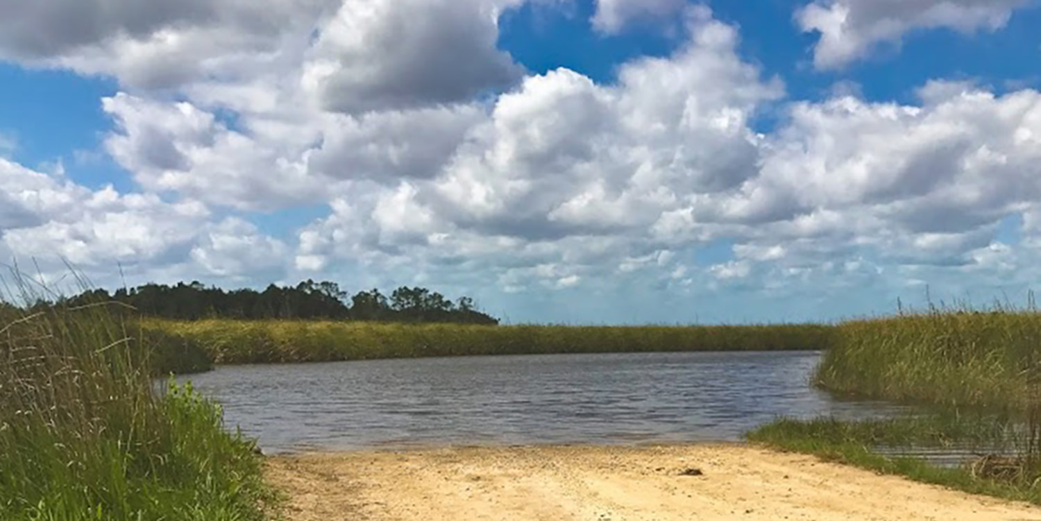
Mile 1.7 (N 7.2)- The Nature Drive passes over Barnett Creek just before it intersects with McCormick Creek Road. This short 0.2 mile road has a small turnaround area, an unpaved boat ramp, and a fabulous view of the marsh and Refuge coast.
North of McCormick Creek road, the forest becomes denser with mixed pine and hardwoods. Owls might be spotted.
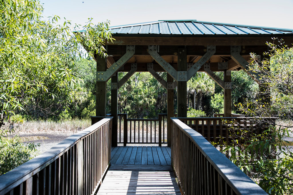
Mile 2.3 (N 6.6), (29° 17’ 51.05” N, 83° 03’ 32.31” N)- A natural freshwater pond with boardwalk and overlook where wading birds, waterfowl and alligators are frequently seen.
Mile 2.9 (N 6.0)- Pond 8 on left. Steep-sided "borrow pits" like this one provided limerock for the logging road
construction; they support excellent fishing.
Mile 3.2 (N 5.7), (29° 18’ 19.23” N, 83° 03’ 45.09”)- Barnett Creek Road on left. This 1-mile spur has an expansive
brackish marsh vista at 0.6 miles. McCormick Creek, which crosses under the road at 0.8 miles, is a popular spot for fishing and launching kayaks. At the end of the road on the north side, Gate 34 leads to the Barnett Creek Trail (a separate brochure is available). The Nature Drive takes a sharp right turn at Barnett Creek Road.
Mile 3.9 (N 5.4)- The Nature Drive turns sharply to the left and Pond 4 Road continues straight. Pond 4 lies 0.1 mile down the road. Pond 4 Road is 1 mile long and passes heavily forested and open areas before ending at a turnaround where gates 28, 29, and 30 provide trail access. Gate 28 is the entrance to the Turkey Foot Loop Trail (brochure on the Friends website).
Mile 5.0 (N 3.5)- Heavily forested cypress swamp is on both sides of the road.
Mile 5.3 (N 3.6)- Pond 6 is on right. Gate 22 is just south with a trail to the east.
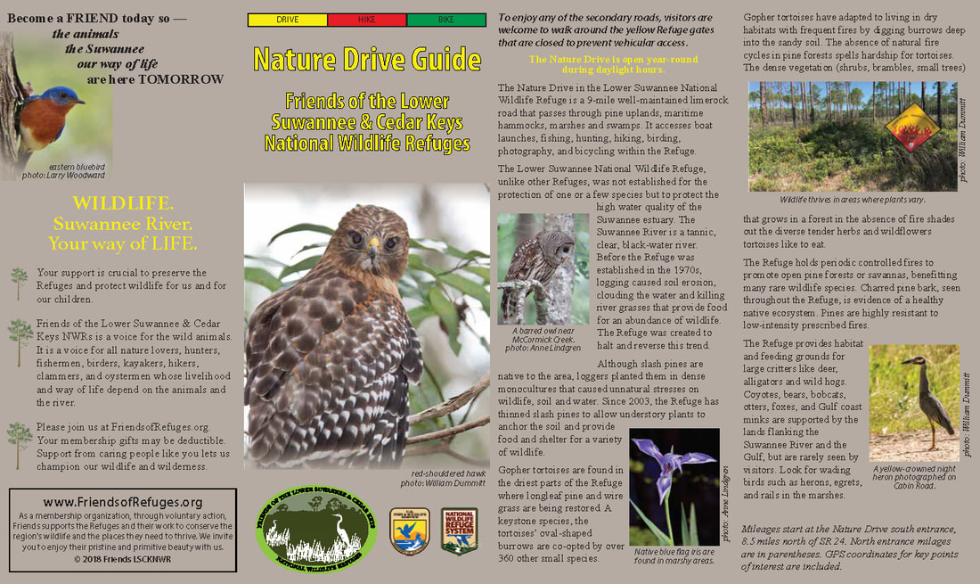
This section of the road traverses thinned pine stands with evidence of prescribed burns. Raptors are often seen in the tall trees.
Mile 7.0 (N 1.9)- Gate 14 on the left leads to Fletchers Landing and Suwannee River access.
Mile 7.7 (N 1.2)- Gate 13 on the right with a south trail and a sign explaining the importance of pine habitat.
Mile 8.3 (N 0.6)- The Nature Drive makes a sharp right turn. Gate 11 with an east trail are down a short side road ahead.
Mile 8.9 (N 0.0), (29° 21’ 53.84” N, 83° 02’ 17.36” W)- North Entrance gate, and information kiosk.
Refuge headquarters is less than a mile north off SR 347. The River Trail with a Suwannee River view and the Tram Ridge Trail begin there. Visit the Refuge bat house to learn how the Brazilian free tail bat adapted to life in a man-made structure after large hollow trees, called snags, were removed by loggers.
