|
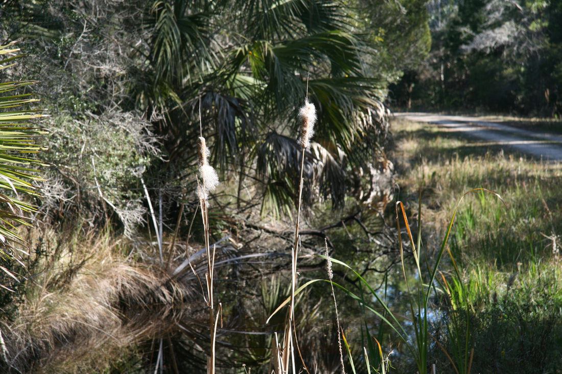
The Lower Suwannee Refuge is working with several potential partners on submitting grants for Gulf oil spill funds to conduct a hydrologic engineering assessment in preparation for restoring more natural hydrology on the Refuge.
The 143 miles of Refuge roads and trails are former logging roads constructed to access timber stands. Natural hydrologic flow and connections to the Suwannee River Sound, estuary, and Big Bend region of the Gulf of Mexico is negatively impacted by this old road network. The roads function the same way levees or dikes would. They impound the water and in many instances redirect it into culverts, disrupting natural sheet flow. This blockage of surface flow means that much of this water does not make it to the estuary. It is detained long enough to evaporate inland altering the estuarine balance and the ecology and productivity of the nearshore waters. This affects freshwater and marine fisheries that are important for recreation and commerce. The proposals being worked on address the most significant road features, the Dixie Mainline and the southern half of the Nature Drive. They seek to restore hydrology on the Refuge through:
0 Comments
Leave a Reply. |
Archives
June 2024
|

Friends of the Lower Suwannee & Cedar Keys National Wildlife Refuges
P. O. Box 532 Cedar Key, FL 32625 [email protected] We are a 501(c)(3) nonprofit organization. |
|

