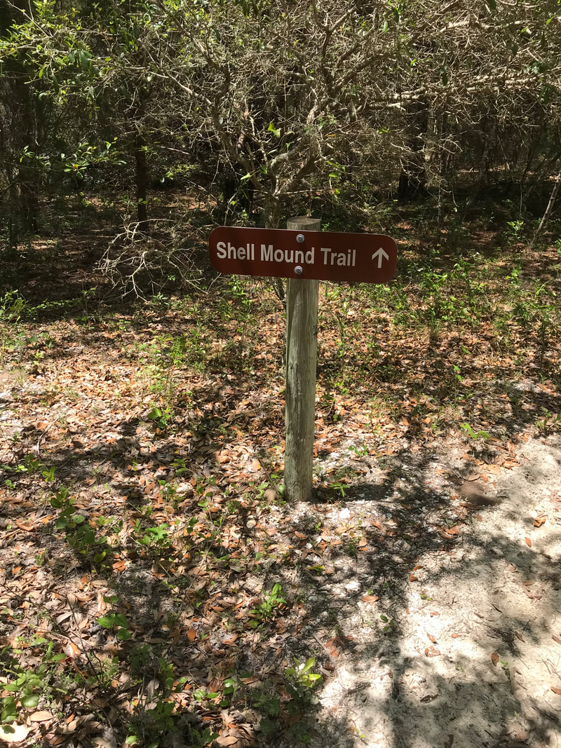
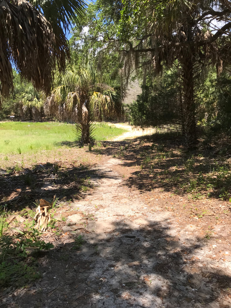
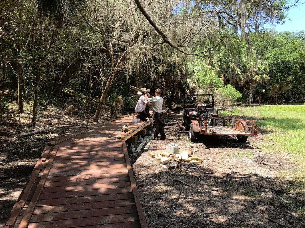
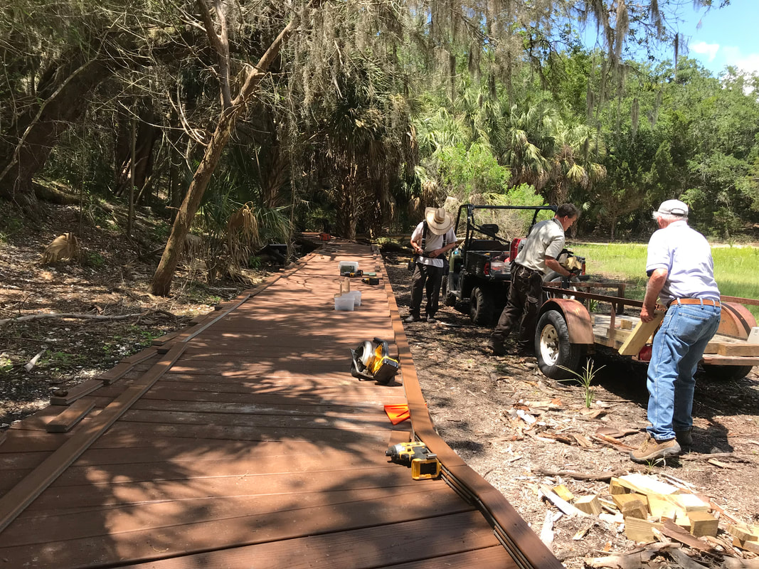
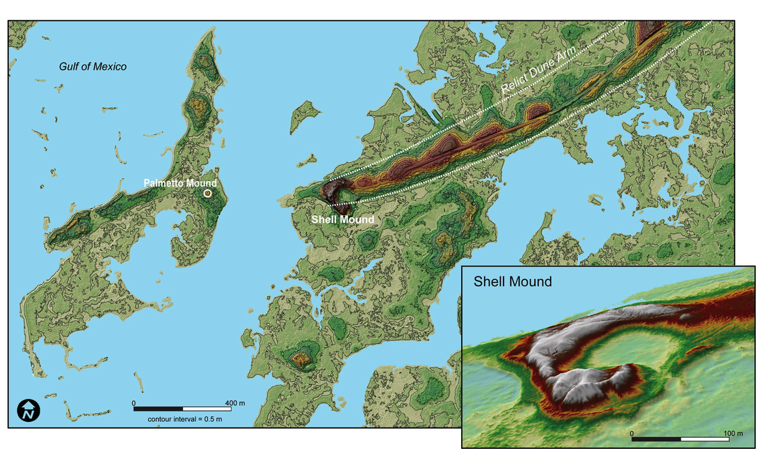
 Photo from Solstices Feasts and Other Gatherings, 2019 Adventures in Florida Archaeology. Topographic map shows the locality of Shell Mound with 3-D inset (lower right) of the C-shaped ridge and open plaza. Image by the author and Terry Barbour from both open-access LiDAR data and higher-resolution LiDAR data provided by GatorEye
0 Comments
Leave a Reply. |
Archives
June 2024
|

Friends of the Lower Suwannee & Cedar Keys National Wildlife Refuges
P. O. Box 532 Cedar Key, FL 32625 [email protected] We are a 501(c)(3) nonprofit organization. |
|
